
Nautical map (The Netherlands)
3.50
-

Langue
English
-

OS
Android
-

Developer
AppHero B.V.
-

#Version
3.6.0
Description de l'Application
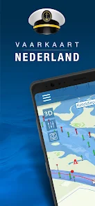
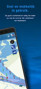
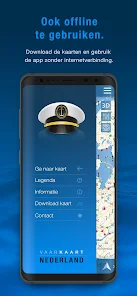
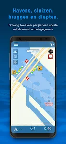
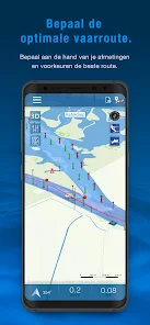
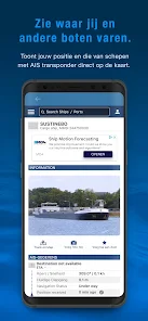
Nautical map (The Netherlands) is an online waterway chart and almanac which immediately displays all information relevant when traveling over water in The Netherlands. It is also an great tool to plan your cruise.
Nautical map NL includes:
- More than 8,000 buoys, barrels and other floating waterway markings.
- More than 4,500 docks and warfs.
- More than 2,500 bridges, including height, width and operating times.
- More than 300 locks including operating times.
- Display of current speed and course.
- Graphical representation of the traveled route.
Agreements: http://www.vaarkaartnederland.nl/voorwaarden
Captures d'écran
Similar

Offline Maps, GPS, Speedometer
Appcentric Team

Phone Locator - Phone Tracker
UNSoft Global

GPS navigation, maps & route
Cyrax Global Apps

GPS Voice Navigation: Live Map
Droid-

King Compass 2019 (no ads)
Clark Wain

Organic Maps: Hike Bike Drive
Organic Maps

Mapy.cz: maps & navigation
Seznam.cz, a.s.

Speedometer: GPS Speedometer
Simple Design Ltd.

Fake GPS Location Change Spoof
iCareLife - GPS Phone Number Locator - TikDownload

The Parking Spot
TPS Parking Management LLC

Argo - Boating Navigation
Argo Navigation, LLC

MKB Brandstof
MKB Ondernemers