

Free Nautical Charts
4.40
-

שפה
English
-

OS
Android
-

Developer
Arpeggio
-

#גרסה
1.25
תיאור אפליקציה
Marine Ways Boating: Your Ultimate Marine Navigation Companion
Marine Ways Boating is your go-to marine navigation and planning app, offering a comprehensive set of features to enhance your boating experience. Access a range of free navigational charts provided by NOAA, plus a host of tools to streamline route planning and ensure safe navigation on the water.
Key Features
-
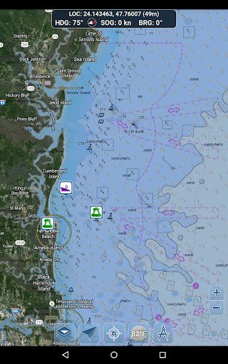
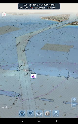
Free Navigational Charts:
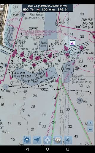
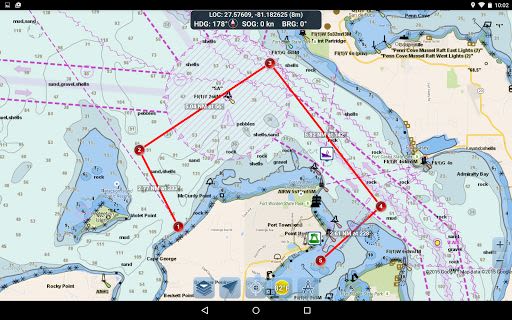
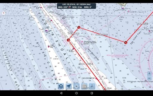
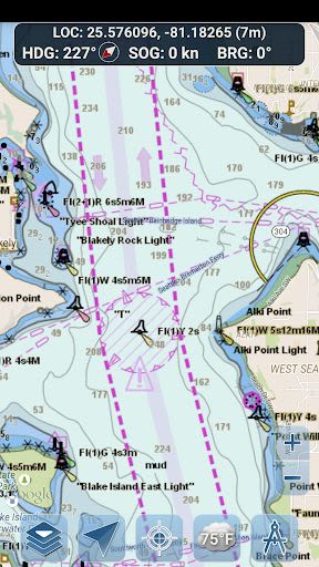
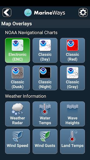
- NOAA ENC Electronic Navigational Charts
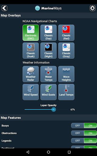
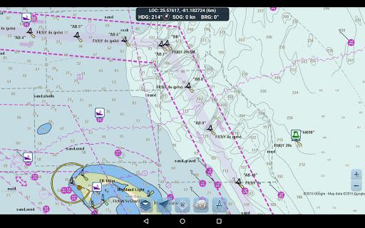
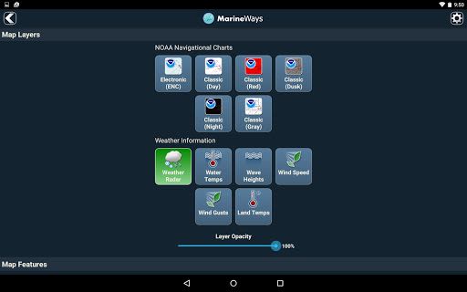
- NOAA BSB Classic Raster Charts (Day, Red, Dusk, Night, Gray versions)
- Chart data sourced directly from NOAA
-
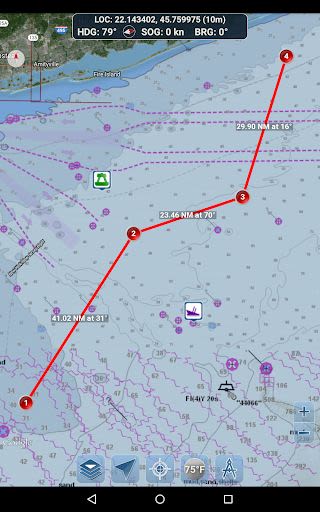
Route Planning Tools:
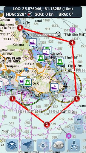
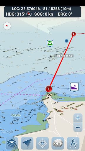
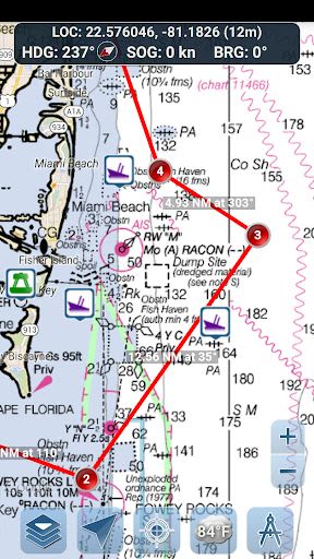
- Easily plot waypoints and create routes with distance and bearing calculations
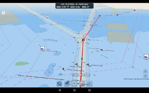
- Travel Mode for real-time route tracking
- Route Leg Summary for detailed leg information
-
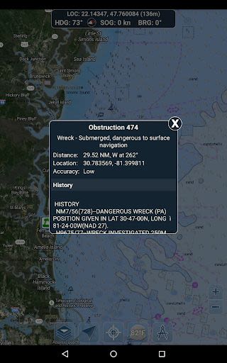
Buoy Reports and Obstruction Information:
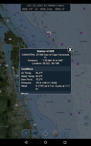
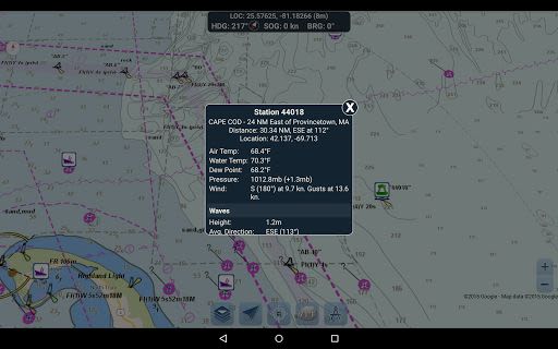
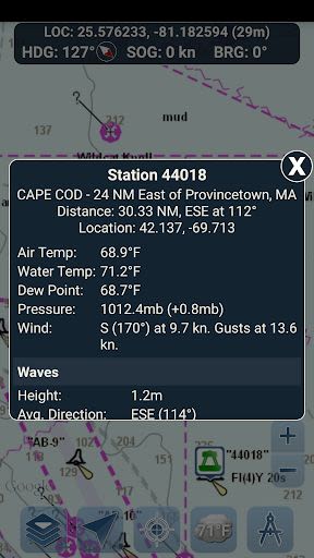
- Access buoy reports with current conditions and wave data
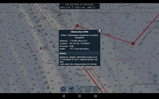
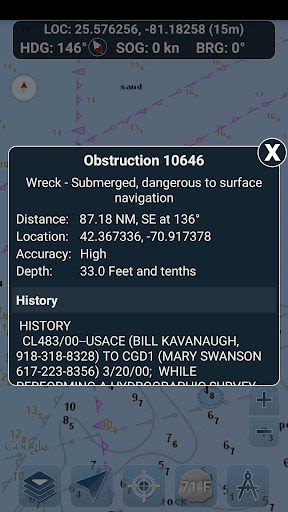
- Obtain location and history details of submerged hazards
-
Navigation Dashboard:
- Real-time location, heading, speed over ground, and bearing display
-
Marine Map Overlays:
- Overlay water surface temperature, wind speeds, wind gusts, and wave heights on the map
-
Location Sharing Over Water / View Other Boats:
- Share your location, speed, and boat name with fellow Marine Ways boaters
- View the location and details of other boats in your vicinity
-
Weather Information:
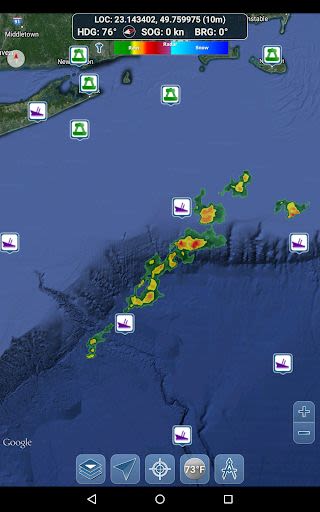
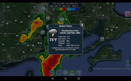
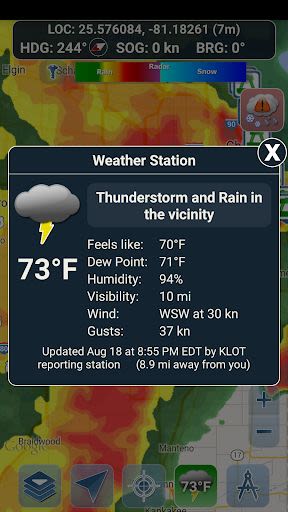
- Weather Precipitation Radar (US & Hawaii)
- Weather Station data with temperature, humidity, wind, and more
- Weather Alerts for active weather warnings
- Land Surface Temperature overlay (US)
Benefits
- Enhance safety with real-time navigation data
- Stay informed about weather conditions for a seamless boating experience
- Connect with other boaters and share locations for added security
Why Choose Marine Ways Boating
- User-friendly interface for easy navigation
- Reliable data sourced from NOAA for accurate planning
- Comprehensive tools for efficient route mapping and tracking
Technical Details
- Compatibility: Available on iOS and Android
- Requirements: Internet connection required for real-time updates
Before diving into your next boating adventure, make sure to review our Terms of Use / Service and Privacy Policy.
Don't navigate the waters blindly. Experience Marine Ways Boating now and sail with confidence! Visit our website at Marine Ways for more information.
צילומי מסך
Similar

dōcō by Renfe
Renfe Operadora

LA Phil 100 x CicLAvia
Guidebook Inc

Civitatis: Fill your trip!
Civitatis.com

Hotels 50% Discount
Cheap Hotel Booking - Tripdealo.com

World of Hyatt
Hyatt Corporation

Turo - Better Than Car Rental
Turo Inc.

Atrápalo viajes y planes cerca
atrapalo

easyJet: Travel App
easyJet Airline Company Limited

Holidu: Vacation Rentals
Holidu GmbH

AustralianETA
Department of Home Affairs

Mobile Passport Control
U.S. Customs and Border Protection

Polarsteps - Travel Planner & Tracker
Polarsteps