

All-In-One Offline Maps
4.50
-

Taal
English
-

OS
Android
-

Developer
Psyberia
-

#Versie
3.9b
App-beschrijving
All-In-One OfflineMaps: Your Ultimate Companion for Offline Navigation
Are you tired of waiting for maps to load while on the go? Say goodbye to connectivity issues with All-In-One OfflineMaps! This innovative app ensures that once maps are displayed, they are stored for seamless offline access, anytime, anywhere.
Why Choose All-In-One OfflineMaps?
- Access maps instantly, even without network connectivity.
- Explore more than just roads on your maps.
- Navigate with ease in areas with poor network coverage.
- Stay on track while traveling abroad.
- Manage your data usage efficiently.
Key Features:
-
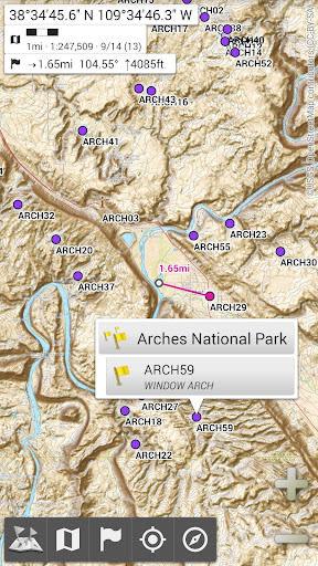
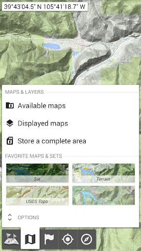
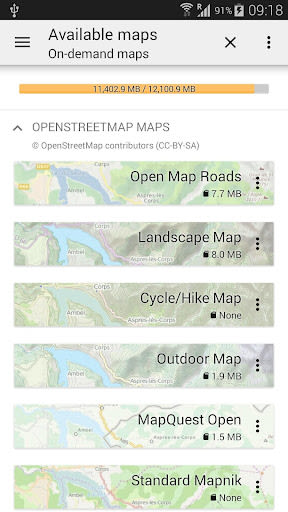
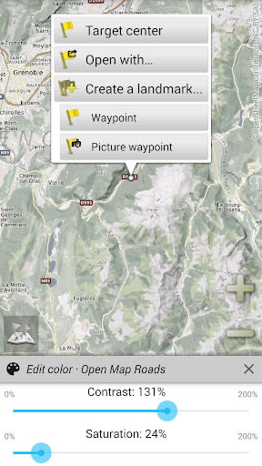
Diverse Map Selection: Choose from a wide range of maps, including road maps, topographic maps, satellite imagery, and specialized layers like OpenStreetMap and USGS National Map.
-
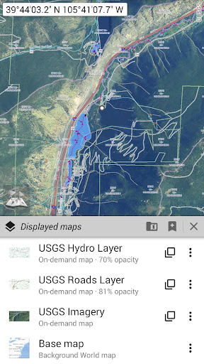
Customizable Layers: Stack maps with precise opacity control and add multiple layers for detailed navigation.
-
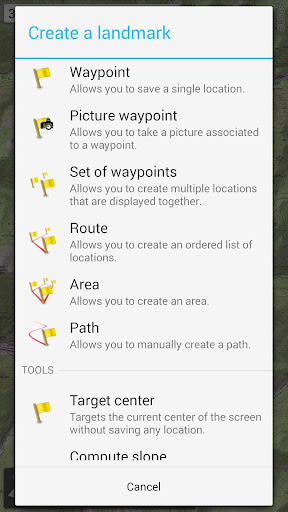
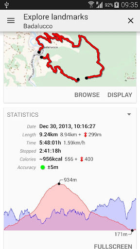
Placemarks Management: Easily add waypoints, icons, routes, and tracks on the map using the SD-Card Placemarks Explorer.
-
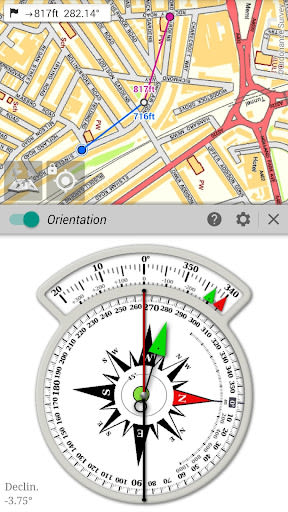
On-Map GPS Location: View your real-time location and orientation on the map, with the ability to rotate the map to match your direction.
-
User-Friendly Interface: Toggle on/off features like metric, imperial, or hybrid distance units, grid coordinate formats, on-map grids display, and full-screen map view.
-
Advanced Functionality: Import coordinate formats, utilize multi-touch zoom, and more.
Benefits:
- Never get lost with accurate offline navigation.
- Save battery by easily toggling GPS features.
- Customize map views to suit your preferences.
- Efficiently manage stored space for maps.
Technical Information:
- Compatible with iOS and Android devices.
- Supports metric, imperial, and hybrid distance units.
- Offers various grid coordinate formats for precise location tracking.
- Import coordinate formats from external sources.
- Multi-touch zoom functionality for detailed exploration.
Explore Beyond Maps:
For the ultimate outdoor adventure experience, check out AlpineQuest Off-Road Explorer, a comprehensive solution packed with a GPS Location Tracker and more. Get ready for your next journey: AlpineQuest Off-Road Explorer
Schermafbeeldingen
Similar

Offline Maps, GPS, Speedometer
Appcentric Team

Phone Locator - Phone Tracker
UNSoft Global

GPS navigation, maps & route
Cyrax Global Apps

GPS Voice Navigation: Live Map
Droid-

King Compass 2019 (no ads)
Clark Wain

Organic Maps: Hike Bike Drive
Organic Maps

Mapy.cz: maps & navigation
Seznam.cz, a.s.

Speedometer: GPS Speedometer
Simple Design Ltd.

Fake GPS Location Change Spoof
iCareLife - GPS Phone Number Locator - TikDownload

The Parking Spot
TPS Parking Management LLC

Argo - Boating Navigation
Argo Navigation, LLC

MKB Brandstof
MKB Ondernemers